Home
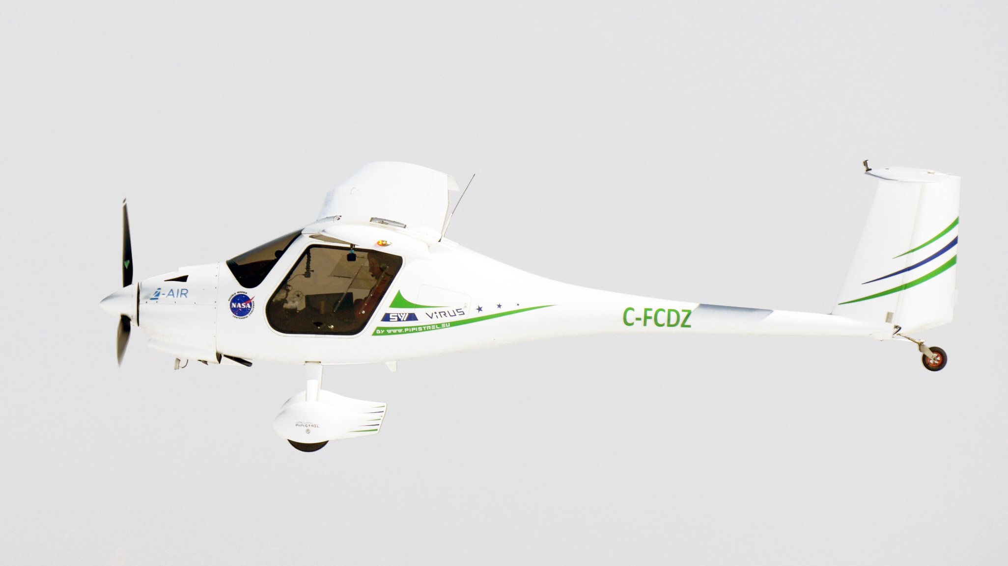
Z-Air specializes in aerial mapping with our long range pipistrel virus surveyor aircraft. We utilize the best camera equipment available.
Aircraft Services
Z-Air provides aerial services to clients across Canada which include:
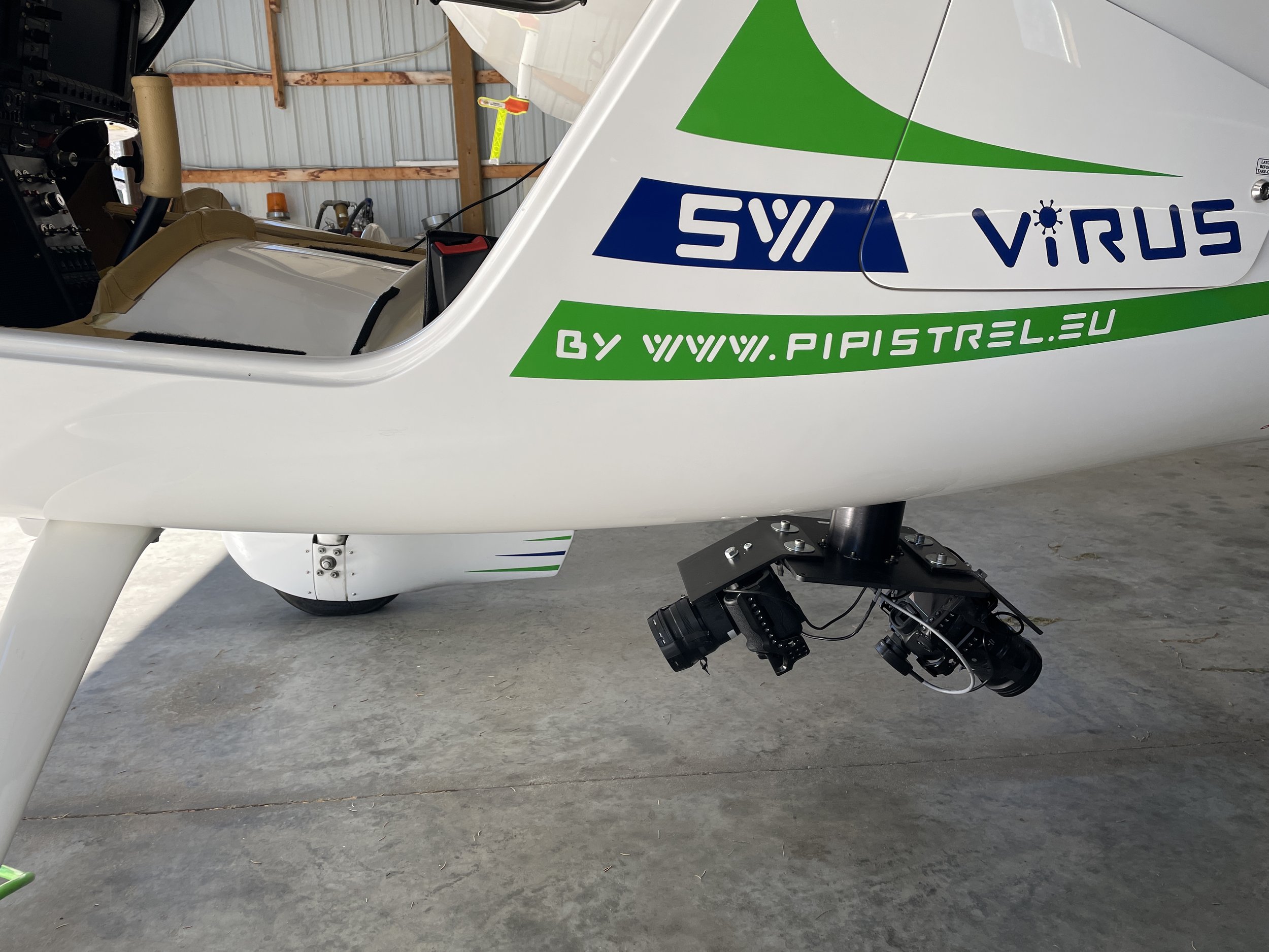
Aerial data aquisition - DEM, Point Cloud, Photogrammetric Data (4cm - 30cm GSD)
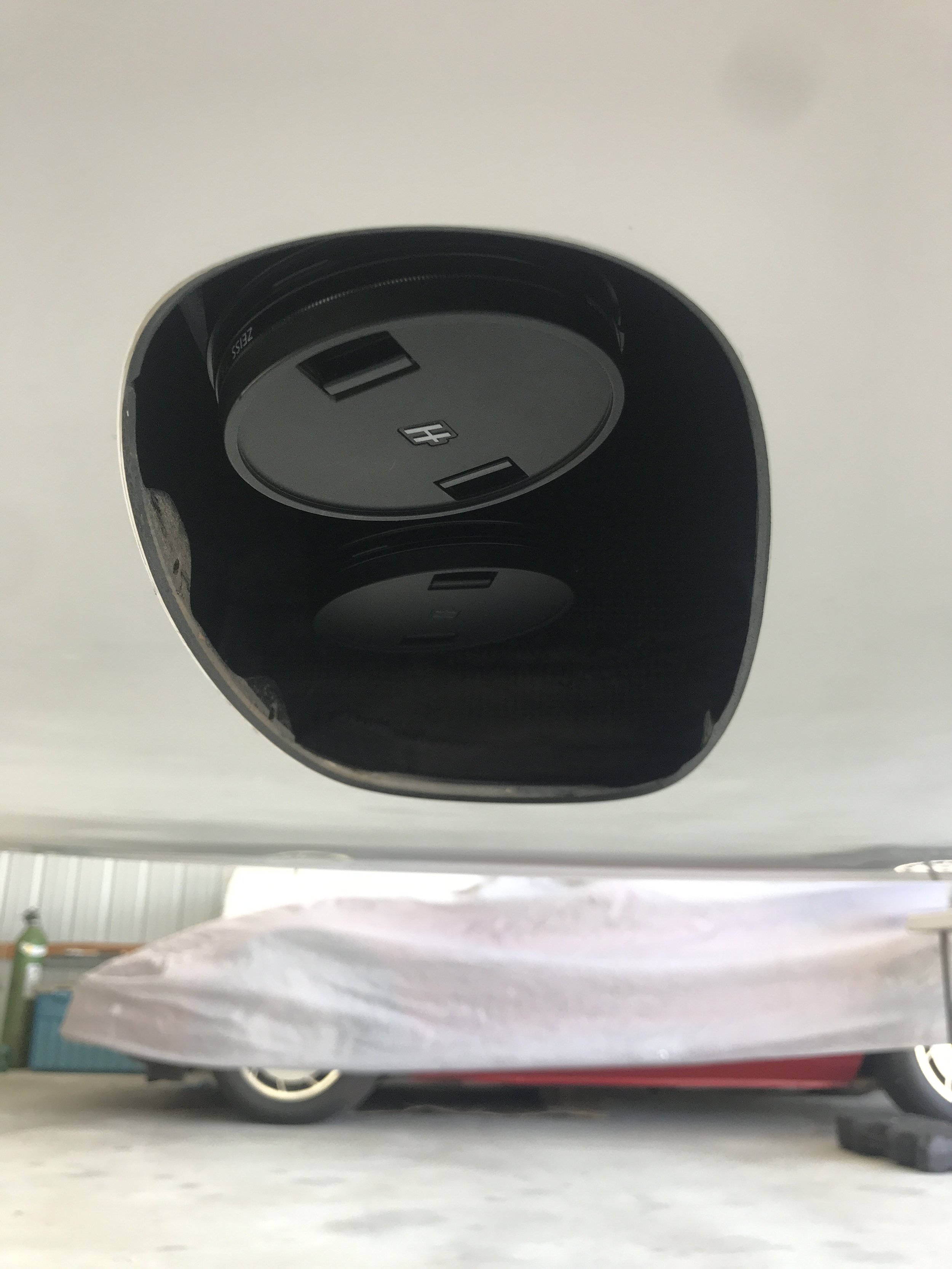
RGB and NIR 100 MP medium format
IR video surveillance
Oblique photography (100 megapixel)
Lidar data capture (Phoenix Ranger XL)
Pipeline - Methane leak detection using state of the art laser based leak detection
UAV Services
DJI Mavic 3T thermal UAV
Thermal imagery - detect heat loss, search and rescue,
visual inspections of buildings, wind turbines, solar panels
Orthomosaic/digital elevation models