Fujifilm Feature film
Darryl Zubot
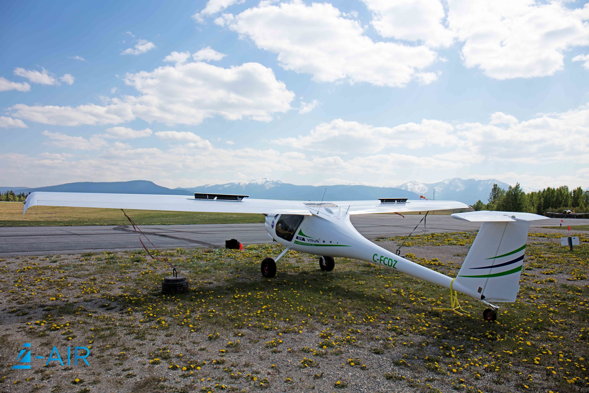
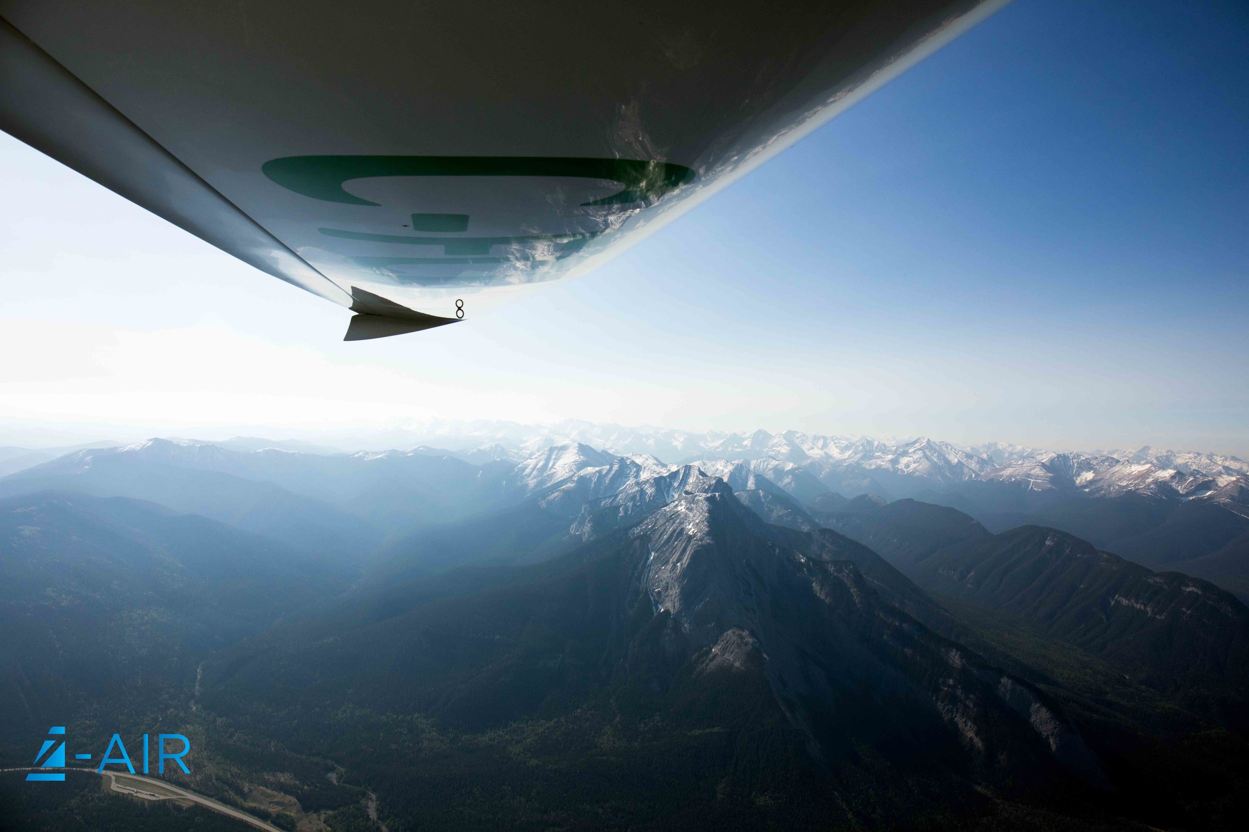
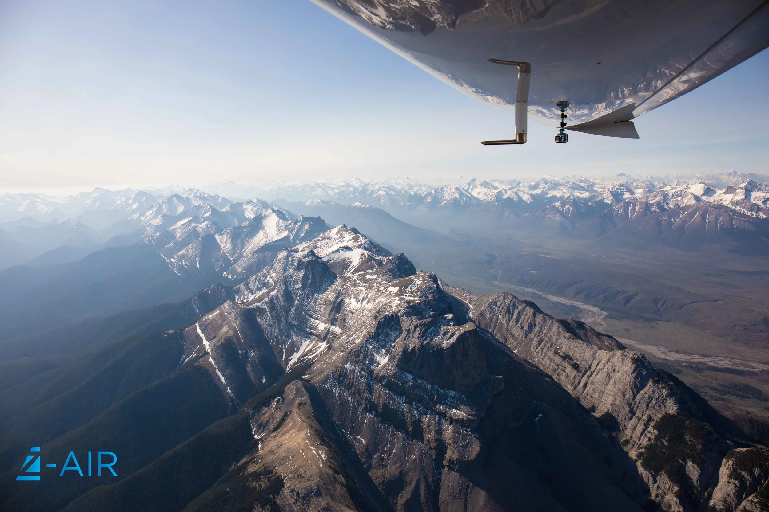
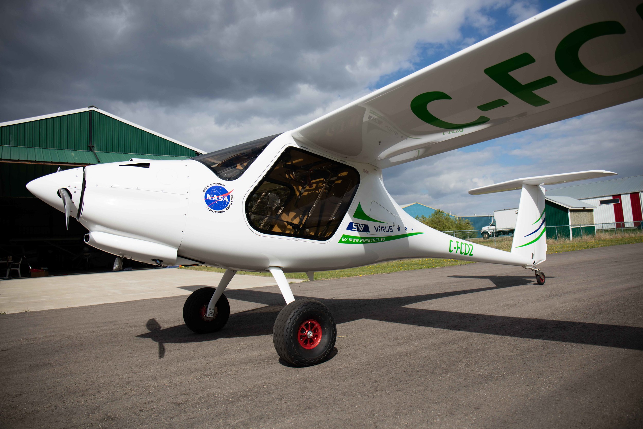
Fujifilm recently conducted a case study on Z-Air to highlight the use of their cameras for aerial forestry mapping. We are very honoured to have partnered with Fujifilm for this case study as well as participate in a feature film. Huge thanks to Greenlink Forestry for being apart of this film
https://fujifilm-x.com/global/special/imaging-solution/casestudy/07/