
About
Our Philosophy
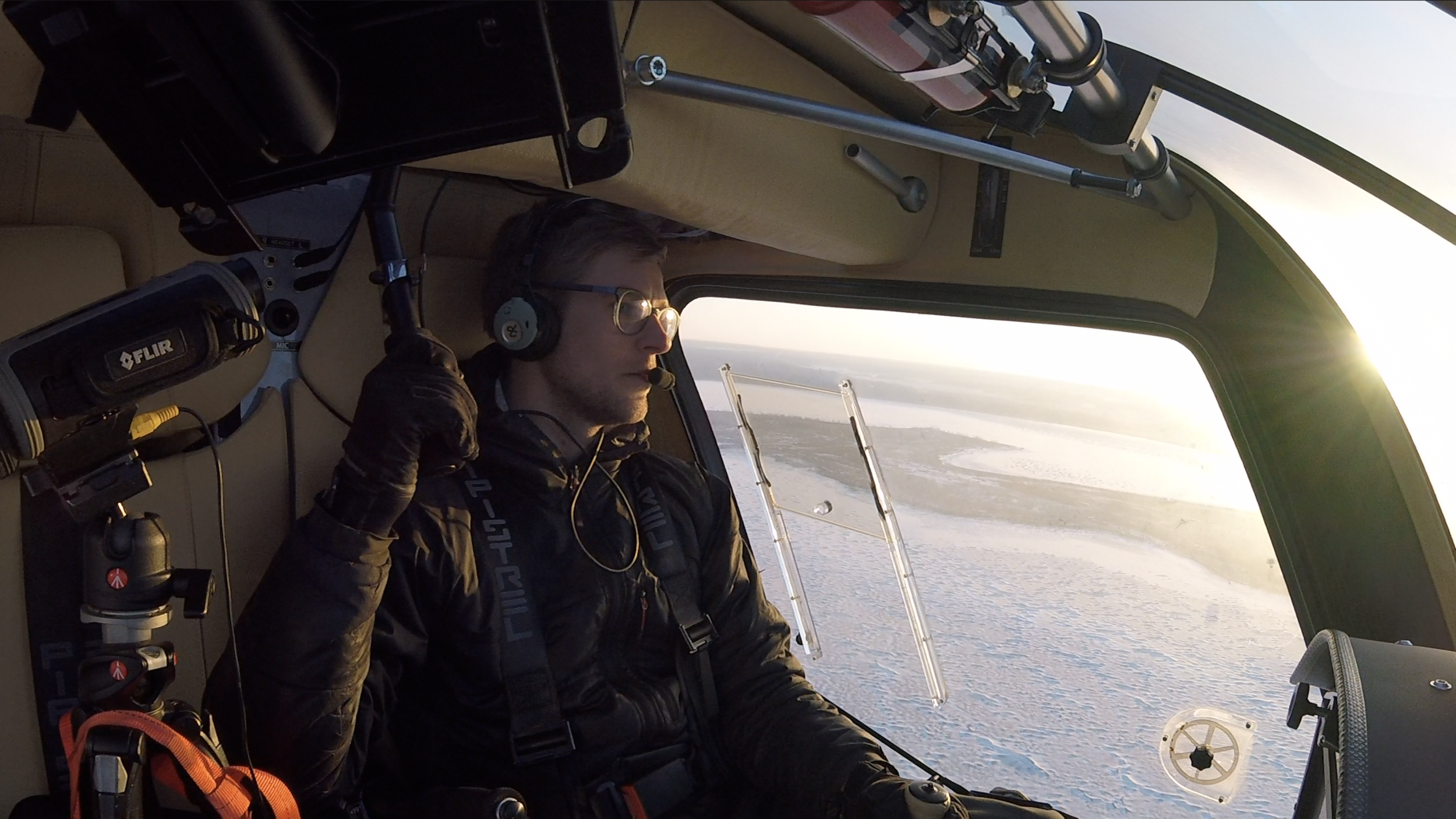
Z-Air strives to deliver highest quality aerial products to its customers and specializes in custom requests. We believe in a green future which is why we have obtained a NASA award winning fuel efficient 2 seat aircraft. With no wing struts, full plexiglass doors, 3 floor ports, the visibility is by far the greatest of any aircraft out there. With visibility almost as good as a helicopter and with the incredible 1800 km range we can cover vast areas that helicopters would only dream of for a fraction of the flight cost. We have been operating in Alberta for over 10 years.
We take custom requests on a daily basis and work with companies such as Genscape, Greenlink Forestry, Landrex, Suncor, Re/Max Realty, Alberta Agriculture AFSC, Chandos Construction, Liberty Mortgage, Northern Weldarc and many more.
We work across Canada with our long range surveyor aircraft or our electric UAV systems. Please contact us today for a free quote.
Chief Pilot:
Darryl Zubot
Commercial Pilot, Multi Engine rating
Diploma - Photography/graphic design
2000 hours total time - fixed wing

Affiliate companies:
Wood Mackenzie
Resource Management - IR surveying
https://www.woodmac.com

Greenlink Forestry
Inventory Specialists & GIS Mapping Specialists
http://greenlinkforestry.com
Stantec Consulting
Engineering/Geomatics Specialists
https://www.stantec.com/en

Measurement Sciences Inc.
Specialize in ground/air surveillance, including Lidar