Canadian Rockies
Darryl Zubot
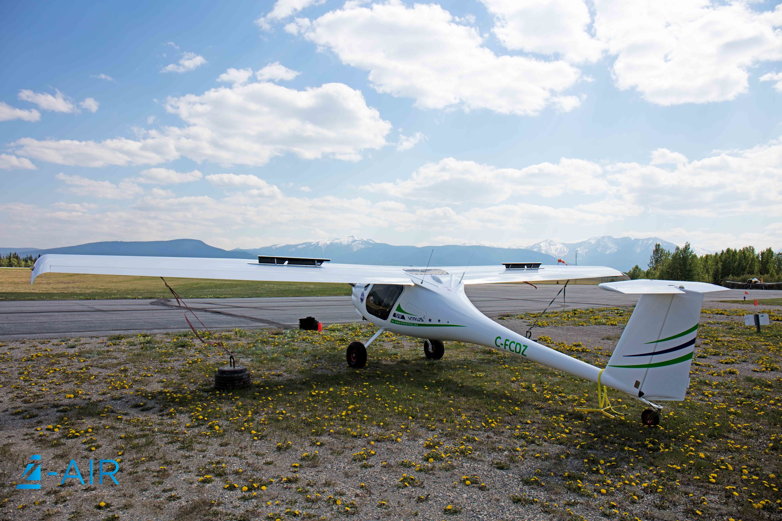
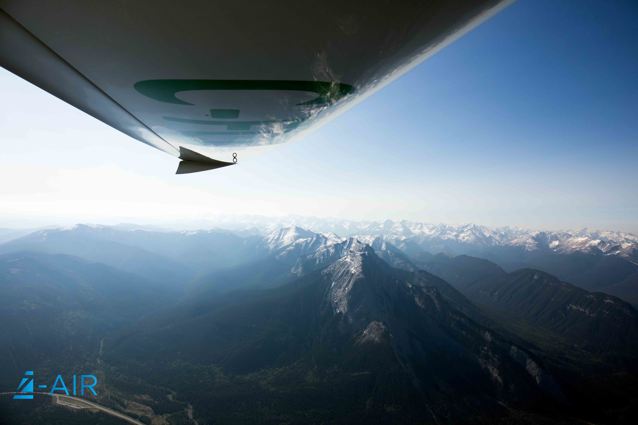
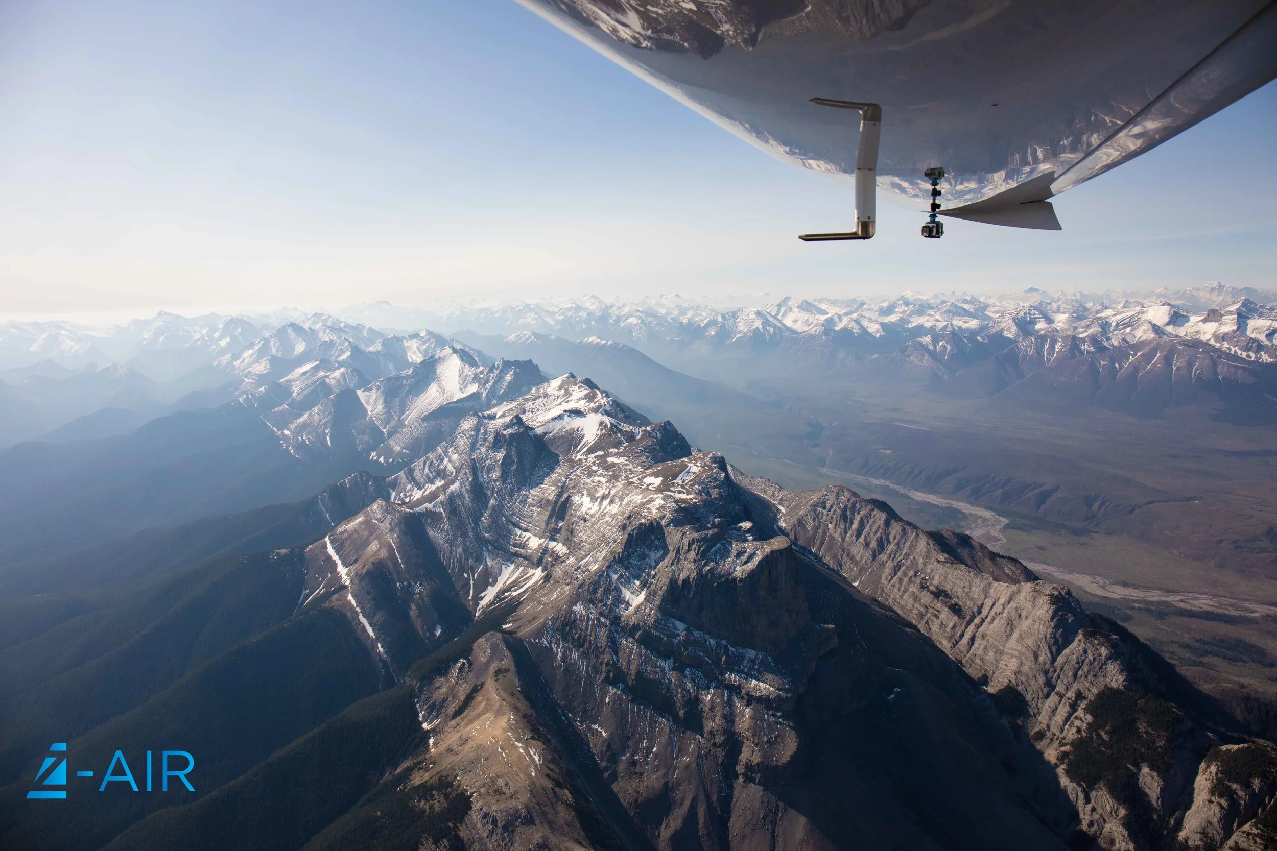
Last week Z-Air took a trip to Hinton/Jaspter for Alberta government hot spot detection test flight. We conducted a midnight flight just on the border of the rocky mountains. Our aircraft is equipped with synthetic vision technology which allows us to see the terrain when we cannot see it visually, this not only adds safety but increases our abilities to fly in varying terrain, day or night.